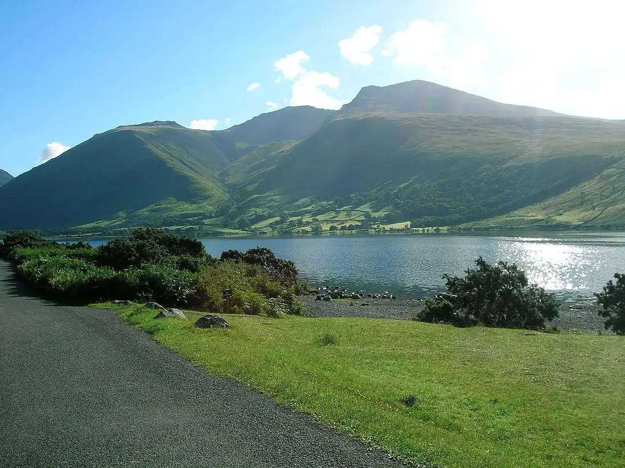
Published by Scafell Pike Guidebook. Content updated .
Difficulty
-
Strenuousness:4 (Very full day)/5
-
Navigation:3/5
-
Technicality:4/5
Info
-
Terrain:Rough rocky ground, grassy hillside, bogs and occasional exposure
-
Time:approx. 8 hours
-
Distance:18km / 12 miles total
-
Total Ascent:1400m
-
Starting Point:Old Dungeon Ghyll Hotel
-
Nearest Town:Elterwater
-
Public Transport:Langdale Rambler Bus 516 Kendal - Windermere - Ambleside - Dungeon Ghyll
Maps

A full day out in the mountains, starting and finishing in the Langdale valley. This route takes in several other peaks as well as Scafell Pike.
Park in the pay and display car park next to the Old Dungeon Ghyll Hotel (OS ref: NY287061) and take the farm track across the fields to Stool End Farm (OS ref: NY277057).
Follow public footpath signs through the farmyard and, after a hundred metres, take the right-hand path. This path climbs steeply at first, then more steadily, up The Band – the great shoulder which reaches out from Bow Fell into the Langdale Valley.
A long continual climb, with views directly across the valley of Oxendale to Crinkle Crags, eventually brings you to a convenient resting point at Three Tarns, the col between Crinkle Crags and Bow Fell (OS ref: NY248061).
Next, head due north, and steeply upwards, following the well-trodden rocky path marked by frequent cairns to the summit of Bow Fell (OS ref: NY244064). There is a magnificent view across the head of the Eskdale Valley far below and across to Scafell Pike itself. On a clear day, you can often make out tiny people on the distant summit.
From Bow Fell, follow the main path northwards to Hanging Knotts (OS ref: NY244072) and then westwards to the summit of Esk Pike (OS ref: NY236075), before descending to Esk Hause (OS ref: NY233081).
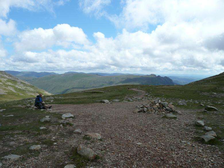
From Esk Hause, continue to the summit of Scafell Pike as per the route from Borrowdale. From the summit, retrace the route back as far as Esk Hause again. But, instead of starting the grind back up to Esk Pike and Bow Fell, descend north-eastwards from Esk Hause for about 300 metres to meet the main Sty Head to Langdale path at OS ref: NY235083.
Follow this well-defined and maintained path south-east as it drops down to delightful Angle Tarn (OS ref: NY245078), nestling below the imposing fortress of Hanging Knotts.
Continue in a south-easterly direction, with a short climb to begin and then a steep descent as the path drops down alongside the tumbling waterfalls of Rossett Gill before joining the bridleway along Mickleden (OS ref: NY262073), from where a final steady and level stride returns you to the Old Dungeon Ghyll Hotel with its world-famous rustic and welcoming Climbers Bar.
Weather Forecast for Great Langdale
The data for the weather forecast for Great Langdale has been provided by the Met Office. The data is updated once daily, so please ensure you check the Met Office website for the most recent information. The exact location of the data refers to the Langdale Youth Hostel (lat: 54.4374, long: -3.0206).
Forecast for Langdale Youth Hostel (159 m above sea level).
Times are UK local time. Temperature ranges, maximum gusts and rain chances cover the three hours ending at each time shown.
Today
Tomorrow
Saturday
Sunday
Data provided by the Met Office. Forecast updated: 30 Sep 2026, 23:00 BST. Conditions in the valleys can differ greatly from those on the summits. Check the full Lake District mountain forecast before setting off.
Frequently asked questions about Scafell Pike from Great Langdale
What are the basics of the Great Langdale route to Scafell Pike?
The Great Langdale route is one of the more challenging ways to reach the peak of Scafell Pike. It’s a full day in the mountains, taking you through rough rocky terrain, grassy hillsides, bogs, and occasional exposed sections. The total distance covered is approximately 12 miles, and the total ascent is about 1400m. It’s an epic journey that is estimated to take around 8 hours to complete
Where does the Great Langdale route start and finish?
The journey begins and ends in the Langdale valley, specifically at the Old Dungeon Ghyll Hotel. You can park your car in the pay-and-display lot next to the hotel. The route also takes you through several other peaks, offering majestic views of the surrounding landscape. Your journey will take you through Stool End Farm, The Band, Three Tarns, Bow Fell, Hanging Knotts, Esk Pike, and finally, to the summit of Scafell Pike. From the summit, you will return via Esk Hause, Angle Tarn, and Rossett Gill, before finally reaching back to the Old Dungeon Ghyll Hotel.
What are some of the sights along the way?
This route offers you the chance to take in the beautiful sights of the Langdale valley and several other peaks. There are breathtaking views across the valley of Oxendale to Crinkle Crags, the head of the Eskdale Valley, and Scafell Pike itself from the summit of Bow Fell. You’ll also see the delightful Angle Tarn nestled below Hanging Knotts and the tumbling waterfalls of Rossett Gill.