Difficulty
-
Strenuousness:3/5
-
Navigation:3/5
-
Technicality:4/5
Info
-
Terrain:Rough and rocky ground, grassy hillsides, bog and occasional exposure
-
Time:5.5 hours
-
Distance:10.5km (there and back)
-
Total Ascent:950m
-
Starting Point:Wasdale Head Green car park (NY187085)
-
Nearest Town:Wasdale Head (hamlet) otherwise Gosforth
-
Public Transport:Seasonal Wasdale Explorer: check the current National Park timetable. No year-round service assumed.
Maps

A steep variation from Wasdale Head Green over Lingmell to Scafell Pike. The less worn Lingmell path and rocky summit demand confident navigation; plan the descent before setting off.
Compare the five Scafell Pike walks before choosing this route.
This variation starts at Wasdale Head Green car park (NY187085), not Lake Head beside the National Trust campsite. Take the public footpath southeast to the footbridge over Lingmell Beck (about NY189082). Read the Wasdale Head guide’s parking and seasonal transport information before travelling.
Plan your journey to Wasdale Head Green before travelling.
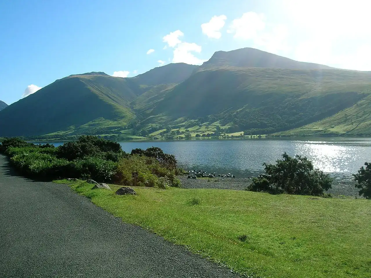
From the footbridge, follow the path southwards, climbing diagonally up the hillside. At the crest of the hill, instead of descending to Lingmell Gill (see the classic Wasdale Route), turn left on the grassy path straight up Lingmell fell. The path is less worn than the main Scafell Pike route; do not assume it will be easy to follow in cloud. Continue steeply up the western shoulder, using your map to follow the route and the wall crossing. Eventually, the incline flattens – although you’re still not at the summit yet (OS ref: NY 196 078). Take a moment to look back at the view, straight down Wasdale and the length of Wast Water disappearing into the distance.
To finish your climb of Lingmell, continue up the path along the western shoulder. The path bears left around the front of Lingmell’s craggy peak, then winds roughly east up to the summit. There is a large summit cairn to mark the highest point. (OS ref: NY 209 081) Looking south, you can see the massive bulk of Scafell Pike and, in clear weather, the path that you’ll be taking up next.
To climb Scafell Pike from Lingmell, descend generally south towards Lingmell Col, then join the main Hollow Stones ascent at the junction above the col (about NY210076). Identify this junction for the return. Follow the Scafell Pike ascent, initially south then bending east; do not simply cross a path and continue in a straight line. The ground underfoot becomes quite rocky and loose, with the path less obvious nearest to the summit.
Soon you’ll be hiking across the boulder-strewn plateau to the summit trig point and huge cairn shelter. You’ve reached the top of Scafell Pike! (OS ref: NY215073). Take a moment to look back at Lingmell and down into Wasdale where you started your day.
Return route
The stated 10.5km return distance and 5.5-hour estimate are retained for the out-and-back via Lingmell; allow extra time for breaks and conditions. They have not been remeasured in this research. To return by the same route, locate the ascent path from the summit and navigate back to the col, over Lingmell and down its western shoulder to the approach path and footbridge. Retracing the route still requires navigation.
An alternative descent is via Hollow Stones and Brown Tongue, as described in the Wasdale Head guide. At the junction above Lingmell Col take the Hollow Stones descent, not the Corridor Route or Piers Gill. This alternative involves the unbridged Lingmell Gill crossing, which can become unsafe after rain, and is a different circuit from the stated out-and-back. Rejoin the lower shoulder path to the Lingmell Beck footbridge for Wasdale Head Green; do not continue to Lake Head by mistake. Plan your descent and crossings before setting out.
Sources and route review
Research checked 30 September 2026. This is a planning guide, not a field survey or a substitute for a current map and compass. No recent walk or qualified mountain-guide review is claimed. Plan the return before setting out.
- National Trust: Hollow Stones route and OS route map (Lake Head approach).
- Wasdale Mountain Rescue: Piers Gill hazards.
- Wasdale Mountain Rescue: preparation and navigation.
Use current OS Explorer OL6 mapping to identify your start and route. Grid references here are approximate landmarks, not instructions to walk straight between points. Path condition, crossings, signs and the Wasdale Head connecting paths need competent local review. A photograph can help memory but cannot replace navigation.