Difficulty
-
Strenuousness:3/5
-
Navigation:3/5
-
Technicality:3/5
Info
-
Terrain:Rough rocky ground, grassy slopes, bog and occasional exposure
-
Time:6 - 6.5 hrs
-
Distance:14.5km
-
Total Ascent:850m
-
Starting Point:Seathwaite
-
Nearest Town:Rosthwaite
-
Public Transport:78 Bus Keswick - Seatoller (no closer public transport links)
Maps
Correct as of 2026-07-02 at 18:02 / Images from Amazon Product Advertising API. We might receive a small commission for any purchases through links on this page, with no extra cost to you.
Start from the end of the road at Seathwaite Farm (OS ref: NY 235 122). There is a small amount of parking, but it is often very busy in the summer. To start your ascent of Scafell Pike via the Corridor Route, cross to the western side of the valley on a farm track, marked ‘footpath’, and out onto the open fells.
There is a footpath running along the western bank of the river you’ve just crossed, the beginnings of the River Derwent, that is making its way to Derwent Water and the shores of Keswick. Turn left and follow this path upstream, slowly ascending and following the shape of Borrowdale’s valley. Your route will curve around the bottom of Base Brown, with the knotted mass of Glaramara rising up on your left, the other side of the valley.
Under the crags of Base Brown, the path comes in very close to the river and gets much steeper. This section is similar to a scramble – with the bottom of the crags spilling onto the path. It is a short section, but it is steep and you may have to use your hands to help you get up. However, on your left is a fantastic view of Taylor Force Gill (OS ref: NY 2305 1105), right up close and personal.
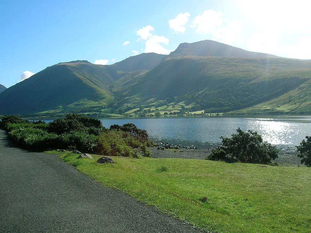
Continue on the path, climbing up to the top of the waterfall and then onwards, still upstream, as the terrain levels out. Soon you will catch the first glimpse of Styhead Tarn, the source of the river you’ve been following so far. On a still, clear day you can see the mountains behind it reflected in the water.
The path continues in the same direction just past the tarn to Sty Head, marked by the Mountain Rescue stretcher box (OS ref NY 2189 0950). This is to save rescuers from having to carry a heavy stretcher up the section you’ve just walked, allowing them to reach a casualty quicker. From the stretcher box, there are several paths. Take the path going almost exactly due west, for just a couple of hundred metres. Here you should see a fork: one path heading straight uphill and another bending right, underneath the black crags above you. This second path is the start of the Corridor Route.
Follow the Corridor Route around the base of Great End and Broad Crag. The path is narrow with sheer crags above and below. You will also pass above Piers Gill – a steep gully, formed by an ancient fault line. Do not be tempted to go down into the canyon, or follow its stream, the view is deceptive and there are actually several vertical climbing pitches.
Soon you will arrive on the slopes above Lingmell Col, with Scafell Pike high above to your right. It’s time to start the ascent. Take the path that curves left and slowly upwards towards the Scafell Pike summit. The ground will become rock-strewn and the route may be difficult to follow in low visibility. But, after the final slog, the trig point and shelter will come into view – you’ve made it to the top of Scafell Pike.
To return, either retrace your steps or follow the classic Borrowdale route in reverse. This will take you back down across the tops of Broad Crag and Ill Crag, dropping down to the col before Great End at Esk Hause. From here, a left turn will put you on a good path all the way back to Styhead Tarn. Finish the descent along the river you set out along until you are back in Seathwaite.