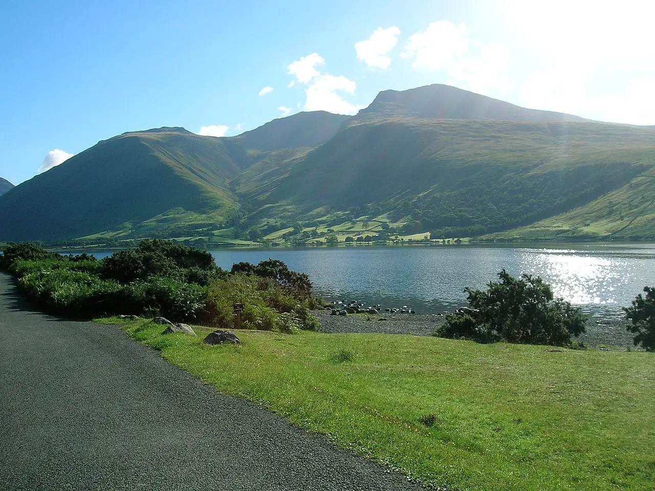
So you’ve decided that you’re ready to climb Scafell Pike – but your first task is to get here! We’ll give you all the info you need to reach the foot of the mountain.
The very first thing you’ll need to do is choose a route up Scafell Pike before you can get your exact directions. There are several different valleys that the mountain can be approached from and you have to pick beforehand. The roads don’t circle the mountain and it’s a long way by road from the start of one route to the next.
Where is Scafell Pike?
Scafell Pike is in the Lake District, a National Park in Cumbria. Cumbria is a county in the northwest of England that borders the coast on one side. It is adjacent to the counties of Northumberland, North Yorkshire, Durham and Lancashire in England. The northernmost parts of the county border with Scotland.
Within the Lake District itself, Scafell Pike is in the central part of the National Park on the western side. It is surrounded by the valleys of Wasdale to the west, Borrowdale to the north and Langdale to the east. The closest valley to the south is Coniston, but that would be a very long walk!
f you want to find Scafell Pike on a map, you can find it on Ordnance Survey’s OL6, in the top right corner. Because it’s so close to the edge, you’ll probably need to get more maps to navigate with, if you’re approaching from the northern or eastern sides. Review our Scafell Pike maps page for more information.
Driving to Scafell Pike
Where do you park to climb Scafell Pike?
Before you can know where to park, you need to decide which route you will be taking. Here’s our guide to Scafell Pike's routes.
Right, now you’ve picked which side of the mountain you’ll be coming from, here are some helpful postcodes to get you to the starting car park.
Scafell Pike postcode
For those who are using satellite navigation, the postcodes you should use for Scafell Pike are below.
Wasdale Head Postcode
CA20 1EX
Seathwaite Postcode
CA12 5XJ
Eksdale Postcode
CA19 1TH
Great Langdale Postcode (Old Dungeon Ghyll hotel)
LA22 9JY
The coordinates for Scafell Pike are 54° 27′ 15.2″ N, 3° 12′ 41.5″ W.
Flying
Those who are flying into the area from further afield in the UK or from abroad have four airports to choose from (subject to airline decisions – flight paths do vary).
- Newcastle Airport is the closest to Scafell Pike by road is just 118 miles away and has the UK, Mediterranean and European connections.
- Manchester Airport is 136 miles from Scafell Pike by road and is one of the biggest airports in the UK offering connections with a wide variety of places around the globe including the US, Asia and the Middle East as well as Europe and domestic UK flights.
- Prestwick Airport is 169 miles away by road and connects mostly with European flights and select UK domestic routes.
- Glasgow Airport is approximately 169 miles by road from Scafell Pike and boasts a number of connections from the UK, North America, Europe and Asia.
Travelling By Rail
You can get fairly close to Scafell Pike by train. Certainly closer than by aeroplane. However, you will need to arrange a hire car or utilise other public transport to reach your accommodation or the starting point. The Avanti West Coast Mainline’s closest stations are at Penrith and Oxenholme Lake District.
There is also a small station at Windermere with less frequent trains. These have connections with London Euston, Manchester Piccadilly and Glasgow Central. Public transport connections are good in the Lake District - at least by standards with other National Parks in the UK. There are regular buses from Kendal, Windermere station and Penrith. Make sure to check timetables, but they often sync up well with the trains.
Accommodation
Check out our Scafell Pike accommodation page to see options to choose from, including B&Bs, hotels and luxury self-catering options. All of these will provide postcodes and parking information when you book. Do book in advance as accommodation is very popular, including the Scafell Pike camping areas.
